Lightning Crashes Beside a Violent Kansas Tornado
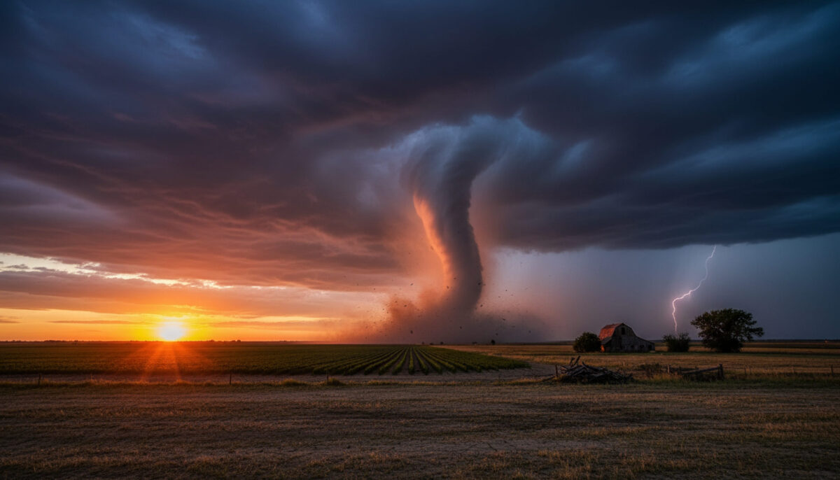
A dark funnel twists across the Kansas plains as a brilliant bolt of lightning crashes into the ground beside it. For a few seconds, the sky appears to unleash two disasters at once. The viral footage, labeled “Great Bend, Kansas, 2012,” captures a scene that can make even experienced storm watchers freeze.
The clip appears to show lightning striking near a large tornado, although one camera angle cannot prove the exact distance between the bolt and the funnel. What can be verified is that central Kansas endured a major tornado outbreak on April 14, 2012, including a violent EF4 tornado produced by an intense supercell moving northeast across the state.
A storm capable of extreme destruction
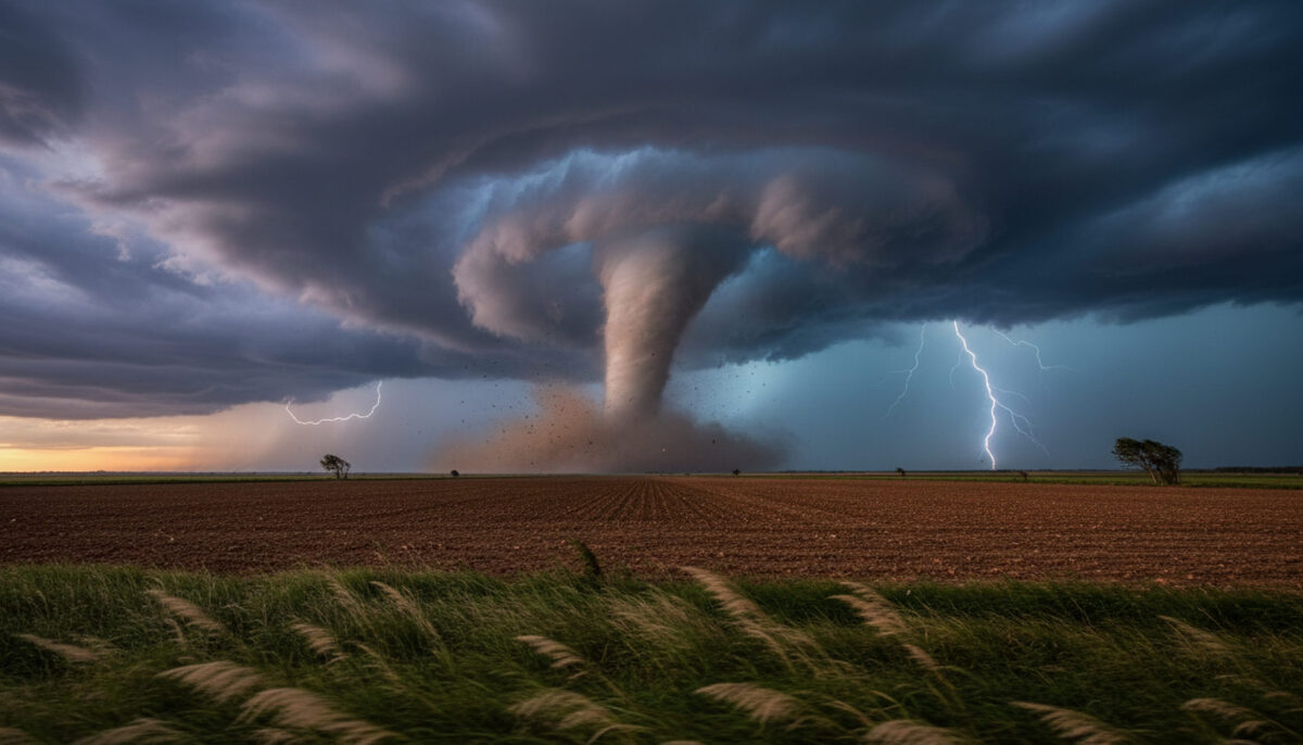
Thunderstorms developed across central Kansas throughout April 14 as a powerful weather system entered the Plains. The National Weather Service said the most intense supercell reached Rice County around 5:30 p.m. and produced a long-track tornado while moving northeast. Its worst damage occurred south of Kanopolis Lake before the circulation lifted and later produced more tornado damage northeast of Salina.
The violent section received an EF4 rating, a category linked to estimated three-second wind gusts of 166 to 200 mph. Tornado ratings are based on damage rather than appearance alone. Survey teams study homes, trees, vehicles and other structures to estimate the winds responsible.
The damage showed extraordinary force. A home was swept from its foundation, leaving only a small staircase near the center. Debris was hurled into a nearby tree line, trees were snapped and shredded, and some trunks were stripped of bark. A vehicle was flipped upside down, while part of a gravel road was scoured roughly four to five inches deep.
Official records list no deaths or injuries from the EF4 segment. That was remarkable during an outbreak that generated numerous tornadoes across Kansas. Later that night, an EF3 tornado struck the Wichita area, injuring 38 people and causing severe damage to homes, businesses, aviation facilities and a mobile home park.
Lightning turned the chase into a double threat
A tornado naturally commands attention, but lightning creates a separate and immediate danger. Both hazards can exist inside the same supercell. A chaser watching the funnel may also face cloud-to-ground strikes, large hail, violent inflow winds, flying debris and rapidly changing visibility.
The bolt in the footage looks extremely close because it fills the frame and appears to touch down near the tornado. However, distance can be deceptive across flat, open country. The strike may have landed closer to the camera, closer to the funnel, or somewhere between them. Without location data or a second viewing angle, its exact distance cannot be confirmed.
That uncertainty does not make the moment safe. The National Weather Service warns that no place outdoors is safe when thunderstorms are nearby. Lightning can strike several miles away from a storm’s main rain area, and hearing thunder means a person is already within striking range.
Storm chasing adds more risks. Heavy rain can hide a tornado, debris can block roads, hail can damage vehicles, and sudden wind shifts can close an escape route. A person looking through a camera may also miss changing traffic, radar information, or dangerous power lines.
The Great Bend label needs context
The reel identifies the scene as Great Bend, but official records do not place the EF4 damage inside the city. The violent tornado crossed portions of central Kansas, with EF4 destruction documented south of Kanopolis Lake. Government records show Great Bend experienced one-inch hail later that evening, but they do not identify an EF4 tornado striking the city.
The location tag may describe where the chase began, the nearest recognizable city, or the wider region. Storm chasers often travel many miles during one event, and clips are sometimes labeled with a staging point instead of the precise filming location. The reel does not provide enough information to settle that question.
What the footage does capture is consistent with the atmosphere of April 14, 2012. Central Kansas faced rotating supercells, repeated tornadoes, hail and damaging winds. The sky could darken quickly, flash with lightning and reveal a tornado already tearing across the landscape.
That is why the video remains gripping. The tornado is frightening on its own, but the lightning suddenly exposes another deadly hazard crashing down nearby. Meteorologists had recognized the outbreak risk, so the storm was not completely without warning. Still, even a well-forecast supercell can produce several life-threatening threats at the same time.
The lesson is simple. Tornado footage can be breathtaking, but the safest place during a warning is inside a sturdy building, on the lowest floor, in an interior room away from windows. When lightning joins the scene, the margin for error becomes even smaller.