Trump makes fresh threats to Canada and Greenland with a provocative photo on his social media platform
President Donald Trump has reignited international concern over his territorial ambitions after sharing an edited image that appeared to place Canada, Greenland and Venezuela under United States control.
The image, posted on Trump’s Truth Social account on July 14, shows the president meeting European leaders in the Oval Office. However, the map displayed behind him had been altered. Large American flags covered Canada, Greenland, and Venezuela, transforming an official-looking diplomatic scene into a sweeping vision of U.S. expansion.
No executive order, treaty proposal, or military directive accompanied the post. Yet we cannot dismiss the image as an isolated internet joke. It reflects several positions Trump has repeatedly promoted: making Canada the “51st state,” acquiring Greenland for national security and maintaining decisive U.S. influence over Venezuela.
An Edited Map Carries a Serious Political Message
Trump’s social media strategy often blends humor, provocation and policy messaging. The latest map follows that familiar approach. It allows the president to circulate an extraordinary territorial idea without presenting it as a formal government plan.
The symbolism is difficult to miss. Canada is shown absorbed into the United States. Greenland, a self-governing territory within the Kingdom of Denmark, is placed under the American flag. Venezuela is treated as another part of the same enlarged U.S. sphere.
We should therefore distinguish between the image’s legal meaning and its political effect. The post does not change a border. It does, however, keep territorial expansion in public discussion and forces governments to respond to claims they would ordinarily consider unthinkable.
The July post also revived memories of an altered image that had been shared earlier in 2026. That version prompted Venezuela’s government to encourage citizens to publish the country’s official map as a symbolic defense of its territorial integrity. Greenland’s prime minister criticized the use of social media for such sensitive discussions and called for communication through established diplomatic channels.
Canada’s “51st State” Dispute Is About More Than a Border.
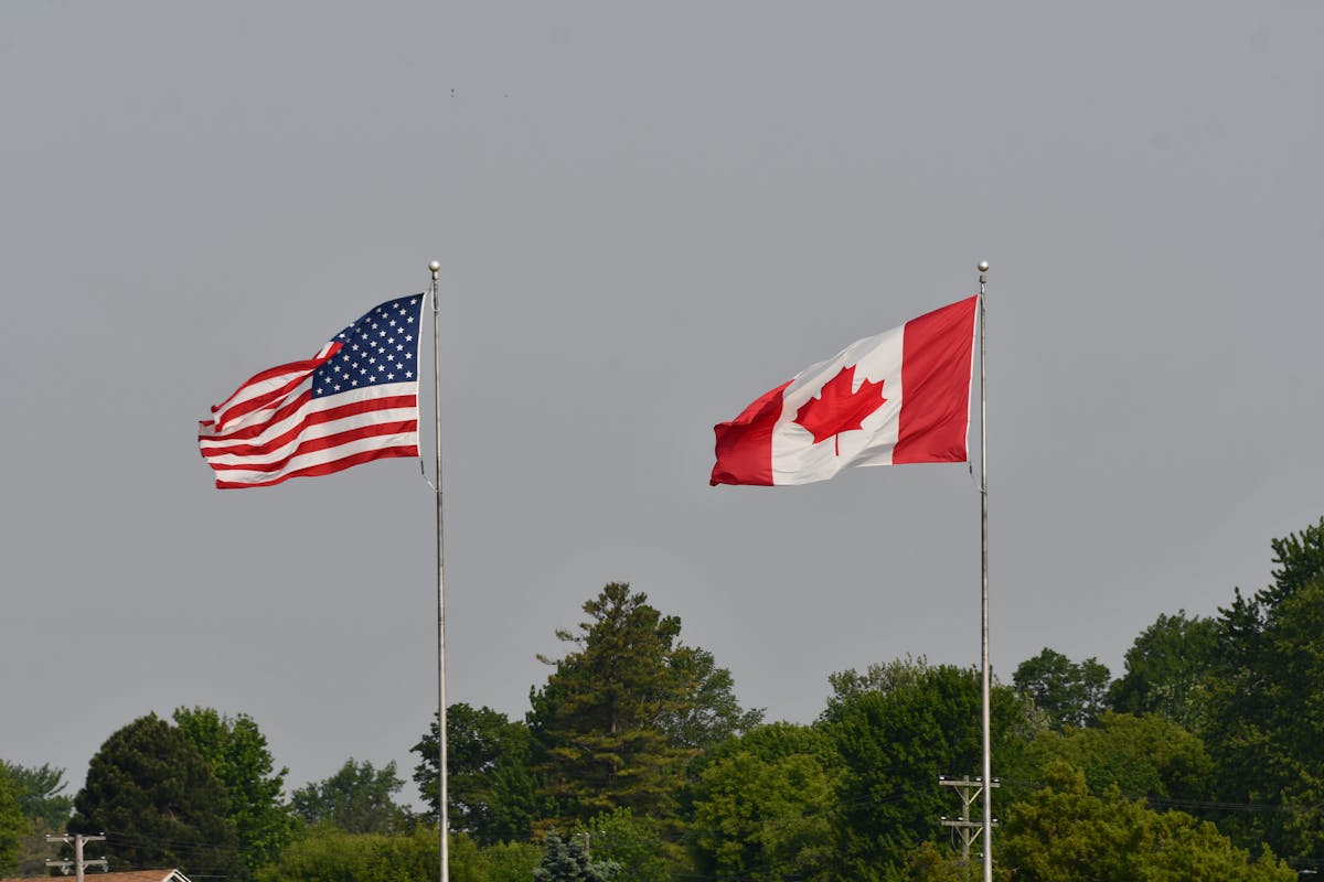
Trump has repeatedly referred to Canada as a potential 51st state, arguing that Canadians could benefit through lower taxes, reduced defense costs, and closer economic integration.
Canadian leaders have consistently rejected the suggestion. The rhetoric has instead contributed to a stronger sense of Canadian nationalism and intensified debate about whether the country relies too heavily on its southern neighbor.
That relationship is too extensive to treat as a simple takeover fantasy. Canada and the United States share a border stretching close to 9,000 kilometers, or roughly 5,600 miles. Almost 328,000 people cross it on an average day, and Canada remains the largest foreign supplier of energy to the United States.
The two countries exchanged nearly C$3.5 billion in goods and services every day in 2025. Bilateral trade has grown by more than 27 percent since the Canada-United States-Mexico Agreement took effect in 2020.
This level of integration gives Washington significant economic leverage. It also means that any serious breakdown would affect American manufacturers, energy users, farmers, and consumers, as well as Canadian businesses.
Canada’s sovereignty is not open to unilateral negotiation. However, tariffs, border restrictions, and trade reviews can still create powerful pressure. We therefore see Trump’s 51st-state language operating on two levels: as territorial provocation and as part of a harder bargaining posture toward Ottawa.
Greenland Sits at the Center of the Arctic Security Race
Greenland is the most strategically significant territory shown in the edited map.
The island has a population of approximately 56,948 people, according to official figures for April 2026. It has extensive self-government, although Denmark retains responsibility for areas that include foreign affairs and defense.
Its importance comes largely from geography. Greenland sits between North America and Europe and occupies a critical position along emerging Arctic air and maritime routes. Climate change, resource competition, and growing Russian and Chinese activity have increased international attention on the region.
The United States already maintains a major military presence at Pituffik Space Base. The installation supports missile warning, missile defense, space surveillance, Arctic operations, and scientific research. It is also the U.S. Defense Department’s northernmost installation.
This existing access complicates Trump’s argument that the United States must own Greenland to protect its security interests. Washington already possesses substantial defense rights through agreements with Denmark.
Ownership would therefore deliver something broader than military access. It would give the United States territorial control over a vast Arctic area, potential mineral resources, surrounding waters, and strategic infrastructure.
Tariff Threats Turned the Greenland Campaign Into Economic Pressure
Trump’s Greenland campaign moved beyond rhetoric earlier in 2026 when he threatened tariffs against several European NATO countries unless progress was made toward what he described as the complete purchase of the territory.
The initial proposed tariff was 10 percent, with the possibility of higher duties later. Denmark and other European governments strongly opposed the pressure, arguing that Greenland’s future must be decided by Greenlanders.
Trump later withdrew the tariff threat after discussions with NATO Secretary General Mark Rutte. The president said the two sides had established a framework for a future arrangement involving Greenland and Arctic security. Public details of that framework remained limited, and no transfer of sovereignty was announced.
The episode demonstrated how quickly territorial language can enter trade policy. A disagreement over Greenland was no longer confined to diplomatic speeches. It had become a potential source of new costs for businesses exporting products between the United States and Europe.
Mark Carney Has Positioned Canada Against Great-Power Coercion

Canadian Prime Minister Mark Carney has emerged as one of the clearest critics of the broader approach behind Trump’s territorial rhetoric.
During his January 2026 address at the World Economic Forum in Davos, Carney described a “rupture” in the international order. He argued that powerful countries were increasingly using tariffs, supply chains and financial systems as instruments of coercion.
His message extended beyond Canada’s immediate dispute with Washington. Carney presented the situation as a warning to middle powers that had depended on alliances, predictable trade rules, and multilateral institutions.
We can see why the Trump map attracted such attention in Ottawa. Canada is dealing with more than an insulting image. It is confronting a U.S. administration willing to link sovereignty-related rhetoric with tariffs, defense spending, and access to the American market.
Venezuela’s Inclusion Broadens the Expansionist Message
The inclusion of Venezuela adds another volatile dimension.
Following the U.S. operation that captured Nicolás Maduro in January 2026, Trump said Washington would play a central role in running Venezuela until a transition could be established. Delcy Rodríguez subsequently became the country’s acting leader.
Trump later said he was seriously considering the idea of Venezuela becoming the 51st U.S. state. Rodríguez rejected the suggestion, declaring that Venezuela would continue to defend its sovereignty, independence, and territorial integrity.
The edited map therefore combines three very different situations. Canada is a sovereign U.S. ally and deeply integrated trading partner. Greenland is a self-governing Danish territory with major strategic value. Venezuela is a South American country undergoing a political transition under extraordinary U.S. pressure.
Placing all three beneath the American flag suggests a common doctrine: Washington should dominate territories viewed as essential to its security, economy, or regional influence.
The Panama Canal Reveals a Wider Pattern
Trump has used similar arguments when discussing the Panama Canal.
The United States constructed and controlled the canal for much of the 20th century. Full control passed to Panama on December 31, 1999, under treaties signed by President Jimmy Carter and Panamanian leader Omar Torrijos.
Trump has argued that the canal was wrongly surrendered and that Chinese commercial activity around nearby ports threatens U.S. interests. Panamanian President José Raúl Mulino has maintained that ownership is not negotiable.
The waterway carries around 5 percent of global trade, including approximately 40 percent of U.S. container traffic. More than 70 percent of the cargo passing through the canal either originates in or is destined for the United States.
We can therefore identify a recurring pattern. Trump focuses on strategically valuable territory or infrastructure, questions the adequacy of existing arrangements, and argues that direct American control would provide stronger security.
International Law Places Clear Limits on Territorial Expansion
The legal barriers remain substantial.
Article 2 of the United Nations Charter requires member states to refrain from threatening or using force against the territorial integrity or political independence of another state. Territory acquired by force is generally not recognized as legally valid.
A negotiated territorial agreement is theoretically possible when all relevant parties freely consent. Greenland’s extensive self-government means Greenlanders could not realistically be excluded from any credible process involving their political future. Denmark has repeatedly said the territory is not for sale.
Canada and Venezuela are sovereign countries. Their incorporation into the United States could not occur through a presidential declaration, an edited map, or a bilateral economic demand.
The legal reality is straightforward: Trump can advocate, negotiate, or provoke, but he cannot redraw international borders by posting an image.
What We Should Watch Next
The most important question is whether the administration converts the latest image into identifiable government action.
We should watch for renewed Greenland negotiations, additional tariff threats, changes to U.S. military agreements in the Arctic and any formal proposal presented to Denmark or Greenland’s government.
Canada’s position will also be tested through the 2026 CUSMA review. Trade disagreements could give Trump new opportunities to combine economic demands with his broader complaints about Canadian defense and sovereignty.
For now, the map remains political theater rather than a territorial plan. Yet its significance lies in repetition. Trump has continued to return to the same targets even after diplomatic resistance, alliance tensions, and international criticism.
Maps do not move borders. They can, however, reveal how a government views power. By placing Canada, Greenland, and Venezuela beneath the American flag, Trump has once again presented a vision in which strategic importance may matter more than established sovereignty, and U.S. allies are taking that vision seriously.