7.3 Mexico Earthquake Shakes 3 Countries as 300-Kilometer Tsunami Threat Sparks Alarm
A powerful magnitude 7.3 earthquake struck southern Mexico on July 17, 2026, sending frightened residents into the streets across 3 countries and triggering a tsunami threat for coastlines within 300 kilometers of the epicenter. The feared catastrophe never arrived, but the combination of violent shaking, coastal warnings, and strong aftershocks turned an ordinary Friday morning into a fast-moving regional emergency.
What makes the story especially striking is the contrast between the earthquake’s power and its relatively limited impact. Despite a shallow offshore rupture, at least 10 significant aftershocks and projected waves up to 1 meter, authorities reported no confirmed deaths and no widespread structural damage during their initial inspections.
Powerful Offshore Earthquake Strikes Near Chiapas
The earthquake hit at approximately 8:48 a.m. local time, with the U.S. Geological Survey reporting a depth of about 15.2 kilometers (9.4 miles). Its epicenter was in the Pacific Ocean roughly 58 kilometers, or 36 miles, from Puerto Madero, a fishing and resort community on the Chiapas coast.
Early bulletins listed the earthquake at magnitude 7.4 and a depth of only 10 kilometers, but scientists later revised the U.S. estimate to 7.3 and 15.2 kilometers deep. Those updates do not mean the first report was wrong or misleading because seismic agencies routinely refine magnitude, depth, and location figures as additional monitoring stations transmit data.
The USGS placed the epicenter about 48 kilometers, or 30 miles, southwest of Aquiles Serdán near Mexico’s border with Guatemala. Mexico’s national seismological service continued reporting the event as magnitude 7.4, illustrating how different agencies can publish slightly different figures while analyzing the same earthquake.
The shaking spread far beyond the sparsely populated coastal zone, reaching residents across at least 3 nations: Mexico, Guatemala, and El Salvador. Buildings swayed in Guatemala City, workers evacuated offices in San Salvador, and people felt movement as far away as Mexico City, hundreds of miles northwest of the epicenter.
300-Kilometer Tsunami Threat Sends Residents Away From Beaches
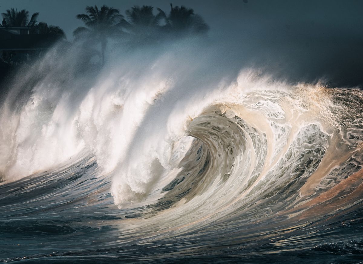
Within about 7 minutes of the earthquake, the Pacific Tsunami Warning Center issued its first international threat message at 14:55 UTC. The agency warned that hazardous waves were possible along the Mexican and Guatemalan coastlines within 300 kilometers (186 miles) of the epicenter.
Initial forecasts suggested that some Mexican and Guatemalan shores could experience water-level changes of 0.3 to 1 meter, equivalent to roughly 1 to 3 feet above normal tide level. Even a 1-foot surge can create dangerous currents around beaches, ports, river mouths, and low-lying coastal roads.
Mexico’s Navy offered a more moderate estimate, predicting that the largest rise would likely remain below 0.5 meter, or about 1.5 feet. Authorities still advised people to stay away from beaches for approximately 6 hours, recognizing that a smaller wave can remain hazardous when combined with strong currents and changing tides.
The first projected arrival time for Puerto Madero was 15:26 UTC, followed by several locations in Guatemala between 15:35 and 15:57 UTC. NOAA warned that tsunami waves can arrive 5 minutes to 1 hour apart and that the first surge is not always the largest, making an early return to the shoreline particularly dangerous.
For U.S. readers, the key number was zero: no tsunami threat was expected for the American West Coast. California, Oregon, Washington and Alaska, along with Canada’s western coastline, were outside the affected warning area despite the earthquake’s powerful 7.3 magnitude.
2 Injuries and 10 Strong Aftershocks Reported
Authorities initially reported no fatalities, although at least 2 people were injured in southern Mexico. One of the injuries involved a migrant woman who reportedly suffered fractures after jumping from a building as the shaking intensified.
That incident occurred after the woman reportedly jumped from a second-floor level, highlighting how panic can become a separate danger during an earthquake. Emergency agencies generally advise people inside buildings to drop, cover, and hold on rather than attempting to run downstairs or leap from windows while the ground is moving.
The USGS recorded at least 10 aftershocks ranging in magnitude from approximately 4.9 to 6.0 during the early phase of the sequence. Several were strong enough to be felt across Mexico, Guatemala, and El Salvador, keeping residents outside and emergency crews on alert after the main shaking had ended.
Guatemala temporarily closed schools in 4 departments while officials inspected buildings and monitored unstable slopes. Minor landslides were reported in some locations, but President Bernardo Arévalo said the country had recorded 0 deaths during the preliminary assessment.
Mexico’s public hospital network reported another encouraging statistic: 100% of the Mexican Social Security Institute’s medical and hospital units in the southeast continued to operate normally. Officials monitored facilities across 6 states, including Chiapas, Oaxaca, Guerrero, Tabasco, Campeche, and Veracruz, and reported no major structural damage that interrupted patient care.
Why Mexico City’s Earthquake Alarm Did Not Sound
One of the event’s most unusual details emerged more than 500 miles from the epicenter, where residents in parts of Mexico City felt buildings move but did not hear the familiar public earthquake alarm. Officials said the energy measured during the earthquake’s first few seconds did not cross the established activation threshold used by the alert system.
The silence did not mean that officials considered a 7.3 earthquake harmless. Early-warning systems assess whether detected seismic energy is likely to produce dangerous shaking in specific cities, and an offshore event can be strongly felt without meeting all the automated triggers required to sound a public alarm hundreds of miles away.
The alert issue adds a significant human-interest angle because Mexico has spent more than 3 decades developing one of the world’s best-known public earthquake-warning networks. The July 17 event demonstrated that even an advanced system cannot guarantee an alarm for every earthquake felt across a country containing multiple seismic zones and thousands of miles of territory.
The Geological Pressure Beneath Southern Mexico
Mexico lies across at least 3 major tectonic plates, including the North American, Pacific and Cocos plates, placing the country within one of the planet’s most active seismic regions. Southern Mexico is particularly vulnerable because the Cocos plate moves beneath the North American plate along the Middle America Trench.
Along portions of Mexico’s Pacific coast, the Cocos plate converges with North America at roughly 70 to 76 millimeters per year, or nearly 3 inches annually. That movement appears slow on a calendar, but pressure accumulating over decades can eventually be released in earthquakes exceeding magnitude 7 or 8.
Chiapas experienced an even stronger offshore earthquake in 2017, when a magnitude 8.2 rupture struck the region. The Cocos plate begins descending beneath Central America near a trench located just over 100 kilometers southwest of that earlier earthquake, which helps explain why the southern Mexican coast remains capable of producing major seismic events.
Magnitude alone does not determine whether an earthquake will generate a destructive tsunami. A 7.3 quake can produce limited ocean movement, while a differently positioned fault may push a far larger volume of seawater upward, depending on the depth, rupture direction, and amount of vertical seafloor displacement.
What American Travelers Should Know
The earthquake occurred in far southern Mexico near Chiapas, not beside the country’s 4 best-known international resort regions: Cancún, the Riviera Maya, Los Cabos and Puerto Vallarta. Travelers in those destinations were far from the immediate tsunami zone, although visitors anywhere in Mexico should follow local instructions when an earthquake or coastal advisory is issued.
Americans traveling near the Pacific coast should remember 3 immediate rules after strong shaking: move away from the water, head toward higher ground, and wait for an official all-clear. A tsunami can arrive in multiple surges spaced anywhere from 5 minutes to 1 hour apart, so a calm-looking shoreline is not proof that the danger has ended.
Travelers should also expect transportation checks and building inspections for at least 24 hours after a major earthquake, particularly when aftershocks approach magnitude 6. Roads can remain open while authorities inspect bridges, hillsides, hotels, and public buildings for damage that may not be visible during the first assessment.
A Powerful Earthquake With a Remarkably Limited Toll
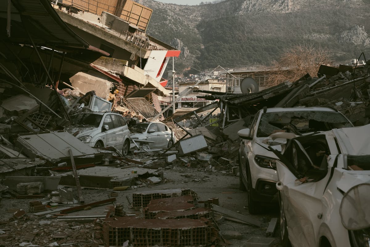
By the end of the initial emergency period, the numbers told an unexpectedly fortunate story: 1 magnitude 7.3 earthquake, at least 10 notable aftershocks, 2 reported injuries, 0 confirmed deaths, and no destructive tsunami. The outcome could have been far worse for a shallow offshore event that shook 3 countries and threatened 300 kilometers of coastline.
The July 17 earthquake should not be remembered only as a disaster that failed to happen. Its 6-hour beach advisory, 100% functioning hospital network, and rapid regional evacuations showed how preparation can reduce casualties before officials know whether the next wave, landslide, or aftershock will become the most dangerous part of the emergency.
A tighter 700-word edition would suit a mobile-first NewsBreak publication while preserving the strongest statistics.