Bertha May Miss Florida’s Coast but Its Most Dangerous Impacts Are Already Arriving
A tropical storm does not need to cross the shoreline to turn an ordinary Florida Tuesday into a dangerous one.
Tropical Storm Bertha remained roughly 100 miles south-southwest of Panama City early Tuesday, July 21, carrying sustained winds of 50 mph as it crawled northwest at only 5 mph. Its projected center may avoid a Florida landfall, but its sprawling reach is already pushing heavy rain, powerful surf and potentially damaging gusts into the Panhandle and Big Bend.
That is the real story behind the latest Florida hurricane update. Bertha is challenging the popular belief that the forecast cone tells residents everything they need to know.
The Center Is Offshore, but the Trouble Is Not
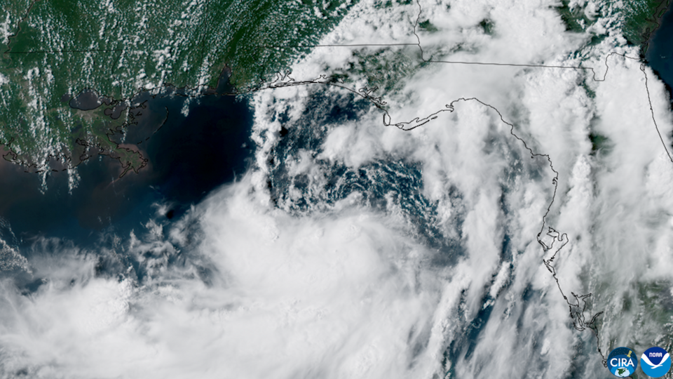
On a weather map, Bertha’s forecast track may look reassuring to many Floridians. The storm is expected to move northwest before turning west along the northern Gulf Coast, keeping its center away from most of the state.
Weather does not respect the neat borders drawn around a forecast cone, however. Tropical-storm-force winds extend as far as 80 miles from Bertha’s center, and its rotating rain bands stretch even farther.
The storm’s lopsided structure also matters. Strong wind shear has pushed much of Bertha’s rain and wind away from its exposed center, creating a broad, uneven storm whose effects can reach communities far outside the expected path.
This means a family in coastal Florida could experience flooded roads, violent surf or a sudden wind gust without ever seeing Bertha officially make landfall nearby. The absence of a direct hit is good news, but it is not permission to ignore the storm.
Florida’s Beach Day Has Turned Into a Warning
Bertha’s most widespread danger may not be found beneath its darkest clouds. It may be waiting in the water.
High surf is affecting Florida’s entire Gulf Coast, with waves expected to reach 8 to 11 feet near Escambia, Santa Rosa and Okaloosa counties. Some Panhandle surf zones could see waves approaching 12 feet, while Florida’s west coast may experience waves of 5 to 7 feet.
Those numbers transform familiar beaches into unpredictable environments. Strong rip currents can pull swimmers away from shore even during moments when the sky looks calm and the rain has stopped.
This is where tropical storms can become deceptive. Residents may cancel plans during a thunderstorm, then return to the beach when sunlight breaks through, unaware that dangerous currents can remain long after the clouds move inland.
Bertha-generated swells are expected to create life-threatening surf and rip-current conditions as they spread westward along the northern Gulf Coast. Red flags, closed beaches and lifeguard warnings should carry more weight than a quick glance at the sky.
Slow Movement Could Turn Rain Into a Bigger Problem
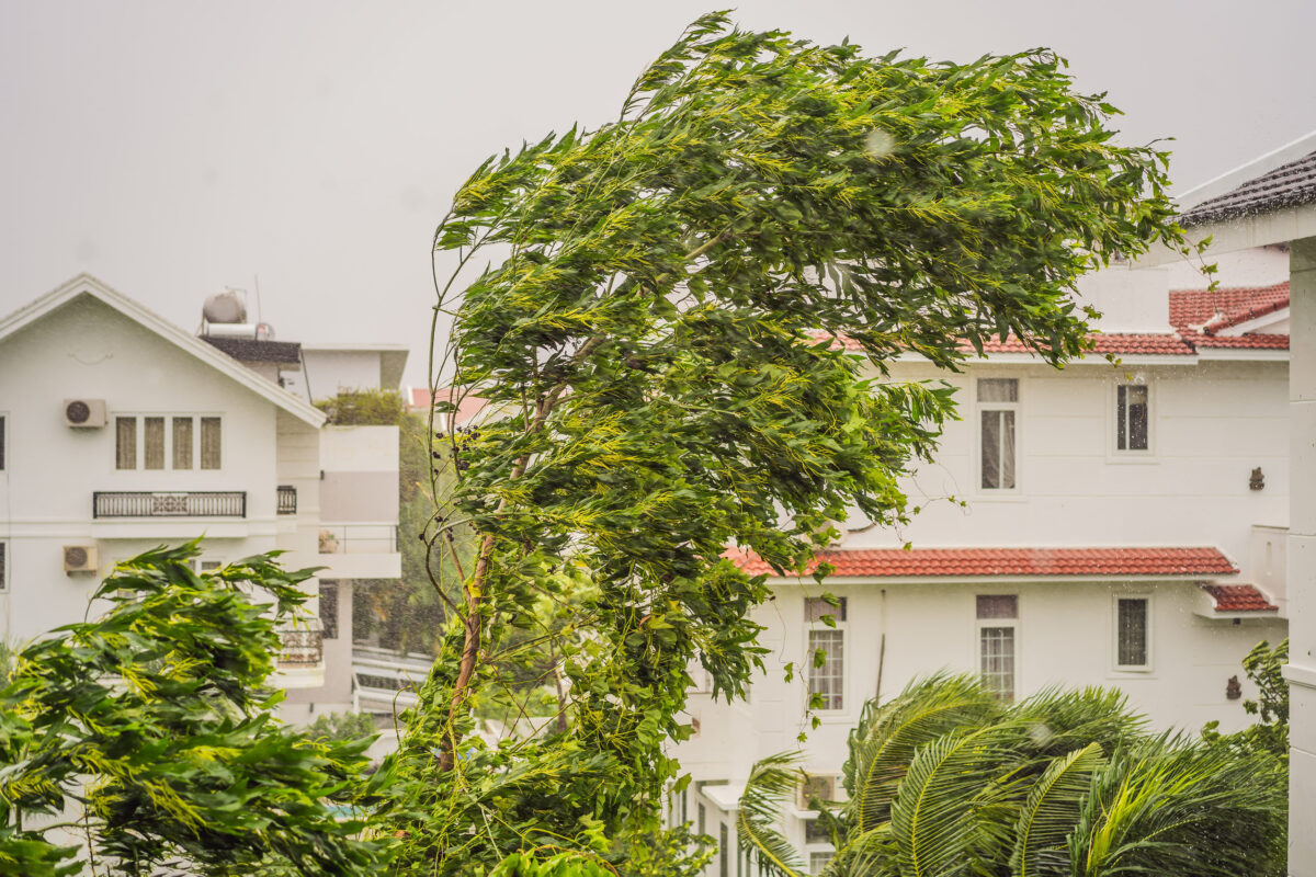
Bertha’s 5-mph pace is another reason Florida remains vulnerable. A fast storm can sweep rain bands through quickly, but a slow storm can repeatedly send downpours across the same streets and neighborhoods.
Florida emergency officials expect 1 to 2 inches of rain near parts of the Panhandle and Big Bend coast Tuesday. Locations caught beneath multiple bands could receive 2 to 4 inches, while broader Gulf Coast totals through Thursday may reach 2 to 4 inches with isolated amounts near 6 inches.
That rainfall may not produce widespread river flooding, but it can overwhelm storm drains, flood low intersections and leave water covering roads in urban or poorly drained areas. The flash-flood risk is currently classified as marginal, the lowest of four levels, but isolated flooding remains possible.
Bertha’s strongest thunderstorms may also produce wind gusts of 45 to 50 mph. A brief tornado or waterspout cannot be ruled out along the Panhandle or Big Bend coast, adding a fast-moving threat to an otherwise slow-moving storm.
Coastal Water Could Reach Places It Normally Does Not
The Gulf is also pressing toward land.
A coastal flood advisory covers much of the Panhandle and Big Bend, where water could rise approximately 2 to 2.5 feet above normally dry ground around high tide. The National Hurricane Center projects a potential surge of 1 to 3 feet from Indian Pass to Chassahowitzka.
This is not the catastrophic surge associated with a major hurricane, but minor flooding can still cover waterfront parking areas, beach roads and low-lying property. Vehicles left in vulnerable locations may become stranded or damaged before residents realize how quickly the tide is rising.
Bertha’s slow approach increases the time that persistent winds can push Gulf water toward the coast. Communities near bays, tidal creeks and exposed shorelines may therefore experience disruptions even though the storm’s center stays offshore.
Bertha Offers Florida an Early-Season Reality Check

Bertha is only the second named storm of the 2026 Atlantic hurricane season. NOAA has predicted a below-normal season with 8 to 14 named storms, including three to six hurricanes and one to three major hurricanes.
A below-normal season, however, is not the same as a harmless season. It takes only one badly placed storm, one flooded neighborhood or one dangerous rip current to make seasonal statistics feel irrelevant.
Bertha may weaken as stronger wind shear disrupts its circulation, and the current forecast does not call for a Florida landfall. Yet the storm is already demonstrating why residents must focus on impacts rather than categories, names or lines on a map.
Florida may escape Bertha’s center. Its beaches, roads and coastal communities are not escaping the storm’s reach.