Severe Storm Surge Across the High Plains: Multi-Day Threat of 3-Inch Hail, 85 MPH Winds, and Repeated Tornado Risk
Across the U.S. High Plains, a persistent late-June atmospheric setup is driving a multi-day severe storm cycle expected to recur over the next several days. According to a report from the CIMSS Satellite Blog, thunderstorms recently brought hail up to 1.75 inches in South Dakota, along with wind gusts reaching 75 mph in Wyoming and Nebraska and 74 mph in South Dakota.
These storms develop repeatedly across the region, leading to new rounds of severe weather nearly every day rather than a single passing system.
What makes this pattern especially impactful is its consistency. Instead of a single isolated outbreak, the region is facing repeated storm development cycles that can overlap in timing and geography, increasing the cumulative risk of damage across multiple states and communities over a 5–7-day window.
Giant Hail Threat: Repeated 1–3 Inch Stones in Supercell Storms
The most immediate and visible hazard in this setup is large hail, with repeated supercell development capable of producing hailstones ranging from 1 inch to 2.5 inches, with isolated cases approaching 3 inches in diameter. These storms are fueled by extreme updraft strength, with internal wind speeds exceeding 90–110 mph, allowing ice particles to cycle repeatedly within the storm before falling.
The impact is highly concentrated but extremely destructive. A single storm track can carve a narrow damage corridor 20 to 40 miles long, impacting vehicles, rooftops, crops, and outdoor infrastructure in minutes. When hail exceeds 2 inches, the risk escalates sharply, windshields shatter, roofing systems fail, and agricultural fields can suffer near-total loss in affected zones. With each new storm cycle, the same communities may be exposed again within 24 hours, compounding damage totals across the region.
Damaging Wind Surges: 60–85 MPH Storm Clusters Spreading Across Counties
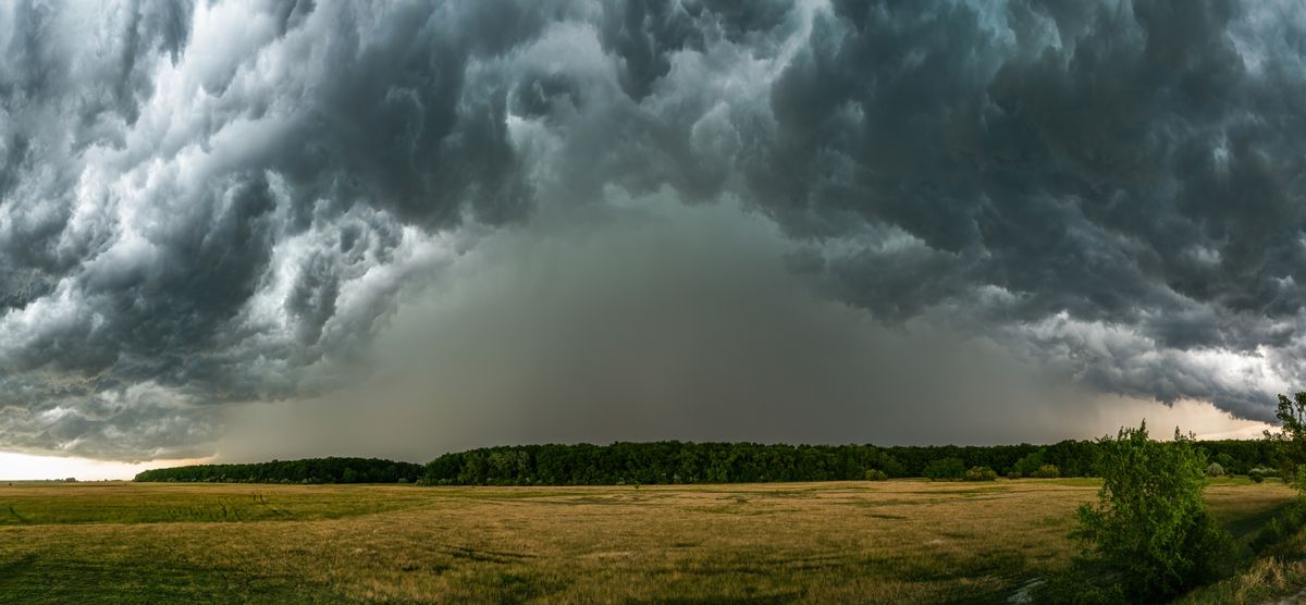
As afternoon supercells mature and interact, many transition into organized storm clusters that produce widespread wind damage rather than isolated hail cores. These systems can generate straight-line wind gusts between 60 and 85 mph, particularly as storms collapse into fast-moving lines known as mesoscale convective systems.
These wind events are especially dangerous due to their scale and speed. According to WeatherBug, severe thunderstorms moving across regions like the northern Plains and western Great Lakes can bring large hail, damaging wind gusts, and the possibility of a few tornadoes, all within a short period of time. These events can impact multiple counties in just a few hours and pose serious risks to infrastructure and outdoor activities.
Downed trees, structural damage, and power outages can spread rapidly across rural infrastructure networks, particularly where transmission lines are widely spaced.
Tornado Potential: Brief but Intense Spin-Up Events in Strong Shear Zones
While hail and wind dominate the overall threat, tornado risk remains present throughout the pattern due to persistent wind shear values exceeding 40–60 knots in the mid-level atmosphere. These conditions are sufficient to support rotating supercells capable of brief tornado development, especially along storm boundaries and outflow intersections.
According to a report from NOAA, severe thunderstorms in the region have produced tornadoes that may be brief but can still create localized wind damage. These tornadoes often develop quickly and may be difficult to spot since they can occur within rain-wrapped storm cores, making detection challenging without the aid of radar. Even isolated tornadoes can cause significant disruption in rural areas where response times are longer, and shelter options are limited.
Shifting Risk Corridors: Storm Zones Moving 100–200 Miles Per Day
One of the defining characteristics of this severe weather pattern is the daily shift in where the highest risk zones develop. According to WeatherBug, the Storm Prediction Center has identified central and eastern Missouri, the Texas Panhandle, and eastern Colorado as areas currently facing a slight to enhanced risk for severe storms.
While the precise location of storm corridors can change daily, the general risk region remains focused on these parts of the High Plains. This shifting pattern means that while one community may experience severe weather on one day, nearby regions may be impacted the next, creating a rolling wave of storm exposure across the High Plains.
In some cases, communities may face multiple rounds of severe weather within a 48-hour period, particularly where boundaries repeatedly regenerate storm development zones.
Infrastructure and Travel Disruption: High Impact Across Roads, Power, and Agriculture
The broader societal impact of this storm pattern extends beyond immediate weather hazards. Infrastructure systems across the High Plains are highly exposed to wind and hail damage, particularly in rural counties where power distribution networks are less redundant. Wind gusts above 70 mph can down multiple transmission poles in a single storm cycle, leading to outages affecting tens of thousands of customers at once.
Transportation systems also face elevated risk. Major highways such as I-70, I-80, and I-25 can experience sudden drops in visibility due to hail and heavy rainfall exceeding 1 inch per hour within storm cores. These conditions can force rapid traffic slowdowns or temporary road closures, particularly during evening storm clusters.
Agriculture remains one of the most vulnerable sectors in this pattern. Hailstones larger than 2 inches can destroy large sections of crops in under 30 minutes, especially during early growth stages. When storms recur over multiple days, total crop losses can escalate significantly, with thousands of acres potentially affected by successive storm tracks.
Livestock operations also face indirect risks from fencing damage, stress, and limited availability of shelter during rapid storm development.
Why This Pattern Is Persisting: A 24-Hour Atmospheric Reset Cycle
According to the National Centers for Environmental Information, the continuation of severe weather in the Plains is being fueled by a recurring atmospheric pattern, with consistent moisture moving north from the Gulf of Mexico contributing to daily storm development. Each morning, surface heating resets atmospheric energy, allowing instability to rebuild to 2,000–3,500 joules per kilogram by afternoon. At the same time, weak steering winds slow storm movement, allowing boundaries from previous storms to linger and trigger new development.
According to Guy Carpenter, a strong temperature gradient caused by a persistent heat dome over the Gulf of Mexico and cooler upper-level temperatures in the Central United States has led to a cycle in which the environment resets each day, supporting repeated rounds of severe storms.
This ongoing pattern can result in multiple overlapping storm events in the same regions over the course of a week, increasing cumulative damage and making recovery efforts more difficult.
Bottom Line: A Repeating High-Impact Storm Pattern Across the Plains
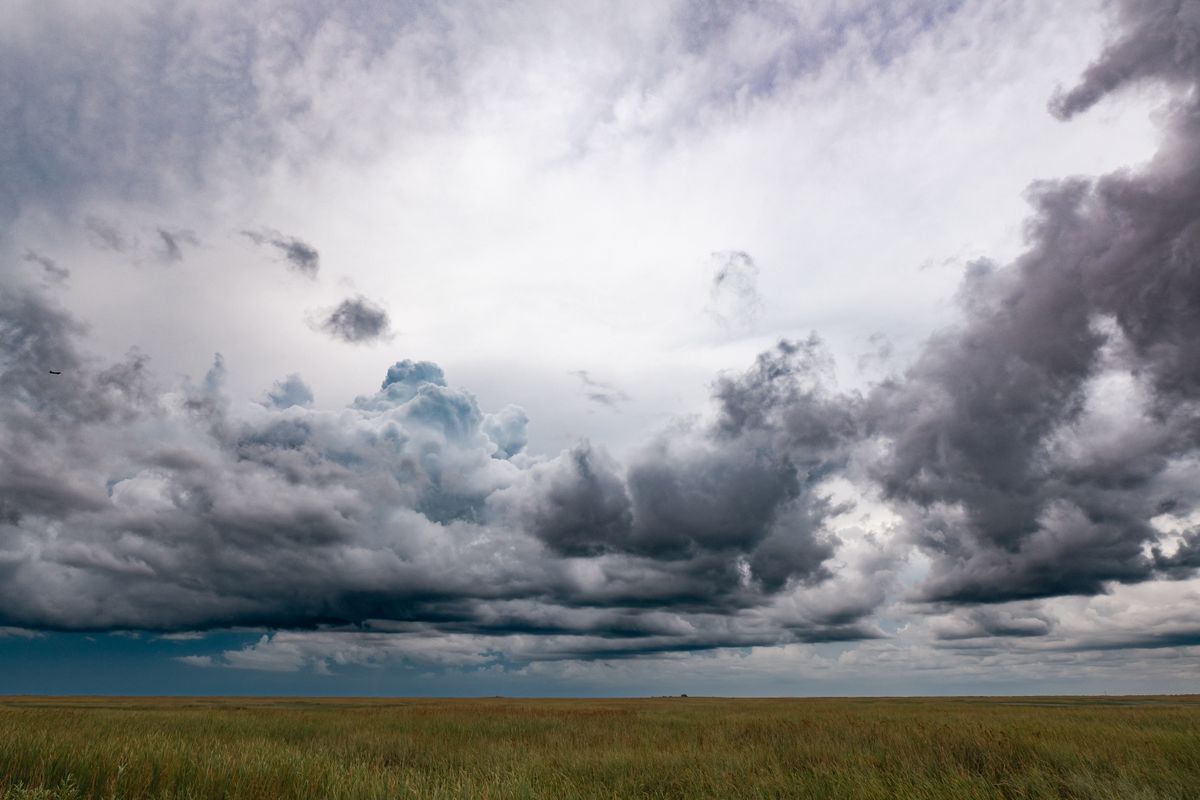
The U.S. High Plains are entering a sustained period of severe weather characterized by repeated supercell formation, large hail up to 3 inches, wind gusts approaching 85 mph, and isolated tornado risk under strong wind shear conditions. Over a 5–7 day window, this pattern is expected to produce multiple rounds of storms that shift daily across a broad geographic corridor.
The defining feature of this event is not a single extreme storm, but the repetition of severe conditions across consecutive days. With each cycle, communities face renewed exposure to hail damage, wind disruption, and localized tornado threats, creating a compounding impact across infrastructure, agriculture, and daily life in the region.